Connect with us
NEW DELHI: All teleports operators have been asked by the ministry of information and broadcasting (MIB) to provide information with regard to the exact location of...
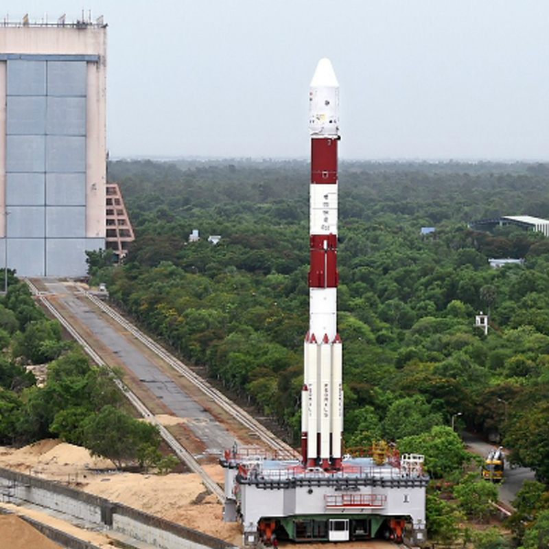
MUMBAI: In its thirty sixth flights (PSLV-C34), ISRO’s Polar Satellite launch Vehicle successfully launched the 727.5 kg Cartosat-2 Series Satellite along with 19 co-passenger satellites today...
MUMBAI: In its thirty sixth flights (PSLV-C34), ISRO’s Polar Satellite launch Vehicle successfully launched the 727.5 kg Cartosat-2 Series Satellite along with 19 co-passenger satellites today...